DCIM120MEDIADJI_0171.JPGDCIM120MEDIADJI_0171.JPG
©DCIM120MEDIADJI_0171.JPG|© Ben Griveau - EVERYWHERE VISUALS

La Vagabonde® Cycle Route

A breathtaking and unique challenge through rural France

The aptly named cycling route La Vagabonde (The Wanderer) is perfect for those who relish a vigorous ride as it promises not only physical rewards but an intimate encounter with the region’s untouched natural beauty.

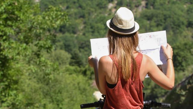
Ready for a genuine challenge?

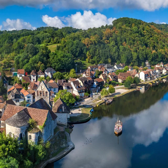
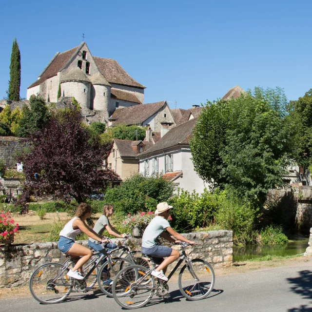
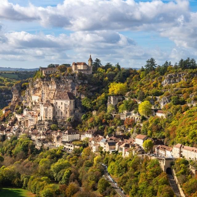
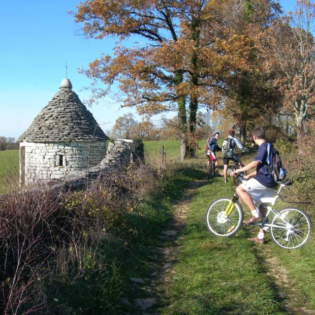
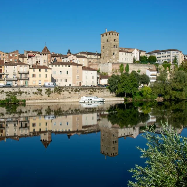
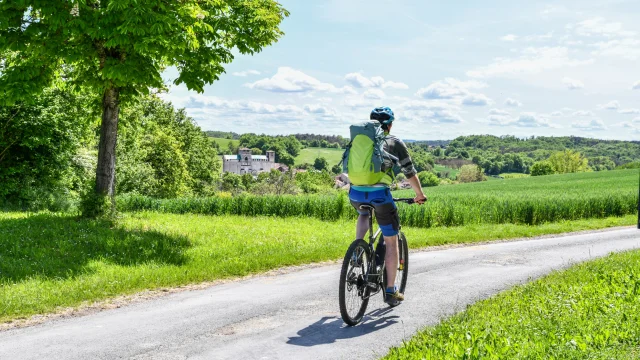
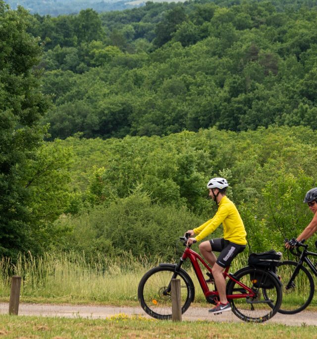
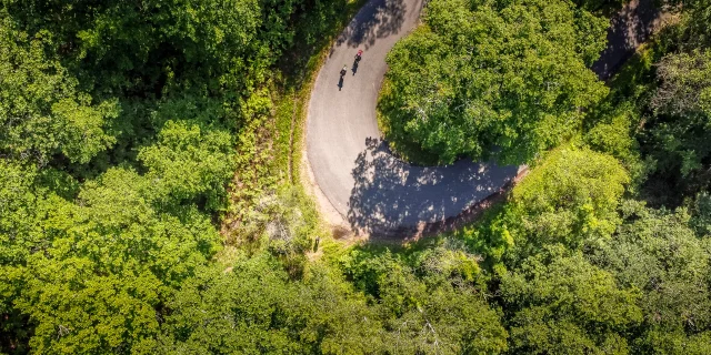
La Vagabonde® Cycle Route, spanning over 500 km from Montluçon in the Allier département all the way to the Tarn-et-Garonne, is tailor-made for sporty cyclists.

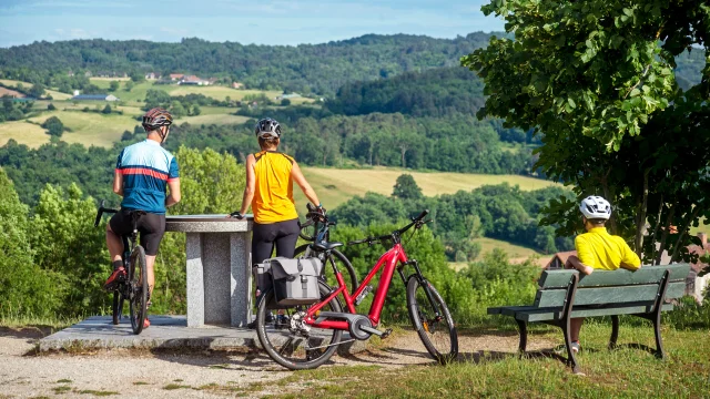
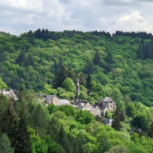
This route, known as the V87, is more than just a cycling path—it’s a tough adventure with considerable gradients that test your endurance and reward you with spectacular views across the Millevaches plateau, through the Dordogne Valley, and into the Causses du Quercy Regional Nature Park.

This physical and scenic expedition is designed for those who thrive on active and low-impact travel. The 10 stages route is perfect to get away from it all while respecting the environment.

Ideal for sporty cyclists, La Vagabonde® offers strenuous gradients that test your stamina and with a bonus of unparalleled natural beauty. Electric bikes are welcome, making these challenges more accessible to a broader range of cycling enthusiasts. Depending on your level of fitness, you can choose to do only parts of the route, choosing the easier stages with the lowest gradients.

The route features green lanes and low-traffic shared roads, ensuring a peaceful ride. It’s fully signposted in both directions, following national and European standards to guide you smoothly on your journey.

Along the way, you’ll find numerous rest areas—equipped with water and sanitary facilities—to keep you moving with peace of mind.

The Dordogne Valley stages

La Vagabonde® or V87 is divided into 10 stages, making it roughly 50 km per day.

Three stages go through the Dordogne Valley itself:

Stage 6 – Clergoux to Beaulieu-sur-Dordogne

Stretching 49 km, this segment takes you through beautifully preserved rural landscapes and past historical landmarks like La-Roche-Canillac and Argentat-sur-Dordogne, before ending in the medieval beauty of Beaulieu-sur-Dordogne which was recently awarded the «Most Beautiful Village in France» label.

Prepare for a significant elevation gain of 698 meters, testing your mettle as you soak in the views.

Stage 7 – Beaulieu-sur-Dordogne to Rocamadour

This 58 km ride will elevate your cycling experience as you navigate through 765 meters of vertical ascent.
Here, the route first passes through the fertile plains of the Dordogne valley amidst walnut groves. As the valley narrows and the river meanders between rocky cliffs, you’ll take some magnificent winding roads that lead to pretty villages like Gluges and Creysse.

The stage ends with a steep climb to the pilgrimage site of Rocamadour, a town that dramatically clings to the cliff’s edge, offering a magical conclusion to a challenging day.

Stage 8 – Rocamadour to Cahors

Cover 64 km and another 765 meters of climbing, journeying through the Causses du Quercy Regional Nature Park all the way to the city of Cahors.

This stage combines rough terrains with cultural treasures, leading you to this historic town known for its wines, medieval past and iconic Valentré bridge.

Tips for the trail

Gear Up for Gradients

Choose a bike that can handle steep climbs. Electrically-assisted bikes are recommended for those who want a little help along the way.

Book Early, Stay Smart

Accommodation can fill up quickly in the high season, so book ahead. Remember, rural areas mean fewer amenities, so plan your meals and stops strategically.

Pack for Preparedness

Carry a repair kit with you. While there are repair shops, they’re spread out, so it’s best to be equipped for on-the-go fixes. Take plenty of water, sun cream and a hat.

Before you saddle up

Feeling ready to take on this new challenge but need more info before you set off?

Download the Vagabonde® V87 cycling route booklet here. Both in French and in English, you will find everything you need with maps and details for every stage, including sites along the way and gradients.

You can also check out the dedicated website by clicking here

Close